


X10-Geo Software
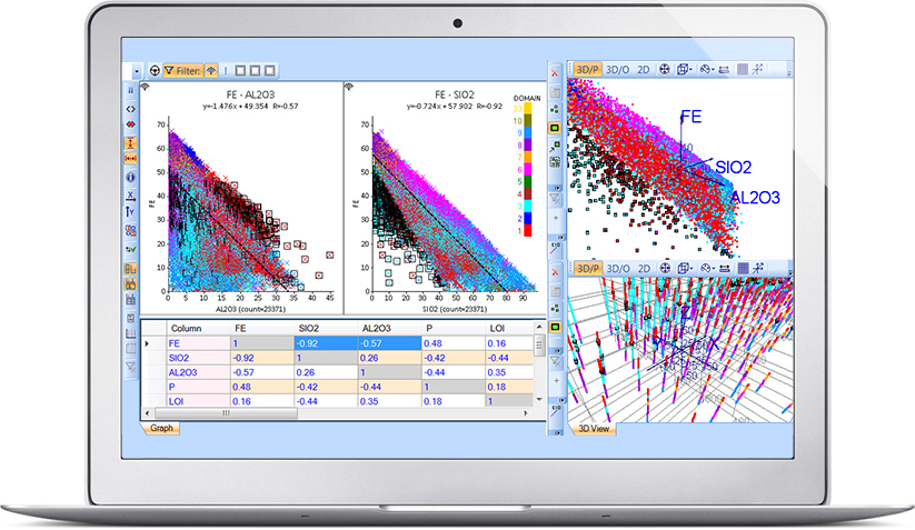
Phinar’s leading-edge spatial data analytics and analysis software, X10-Geo, is packed with powerful and unique features that make users more effective. It is used by earth scientists and data analysts world-wide to save vast amounts of time analysing spatial and chemical data, allowing them to “dig deeper” into their data to uncover new insights and opportunities. Awesome reporting options are also available for inserting graphs and tables directly into documents.
LATEST NEWS
2019 Mining Geology Conference
11 November 2019
The AusIMM Mining Geology Conference for 2019 is taking place in Perth from 25-26 of November and Phinar Software is happy to announce that we’ll be there in booth 34. This is the premier international Mining Geology event of the year and the theme “Innovating the Mining Chain” resonates strongly with us because innovation is one of our core values.
VIEW ALL NEWS